Station 07H · Hiking Guide

Cape Split — a cliff-top meadow above the world's highest tides.

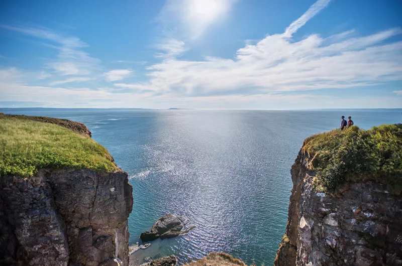
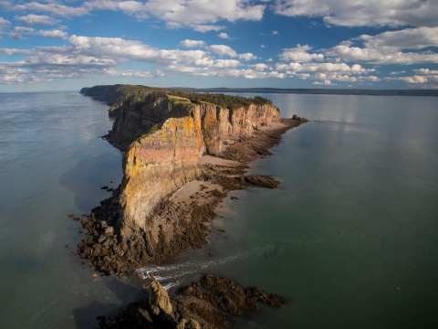
Cape Split is a narrow headland that juts into the Minas Basin from the north shore of Nova Scotia. The 16-kilometre round-trip trail crosses old farm fields and Acadian forest before ending on a grassy bluff with a sheer 200-foot drop to the tide-swirled water below. It is one of the most dramatic viewpoints on the entire Bay of Fundy.

Location

Cape Split, Nova Scotia

The hike

The trail follows an old road and footpath through mixed forest and open meadows to the tip of the cape. The final kilometre opens onto a wide, windswept plateau with views across the Minas Basin to Cape Blomidon and the Parrsboro shore. The elevation gain is moderate, but the exposed cliff edge demands caution — stay well back from the unguarded rim, especially in wind.
Best time to visit

  • May through October; muddy sections common in spring and after rain
  • Clear mornings for the calmest light and best views across the basin
  • Low tide below makes the cliff drop even more dramatic
  • Avoid the exposed point in high winds or thunderstorms

What to bring

  • Sturdy hiking boots — the trail can be wet and rooty
  • Water and snacks; there are no facilities at the trailhead
  • Windproof layer — the point is fully exposed to the bay
  • Tide chart if you plan to explore the shore below (expert only)
  • Leave-no-trace supplies; pack out everything

Food nearby

The Long Table Social Club in Scots Bay is a local favourite for post-hike food and drink, with a welcoming atmosphere and bay-side community feel. It is the closest sit-down option to the trailhead, roughly 10 minutes by car.

Field photos

From the trail and the rim.

Aerial view of the Cape Split peninsula and cliffs jutting into the Minas Basin
Aerial view of the Cape Split headland at low tide.
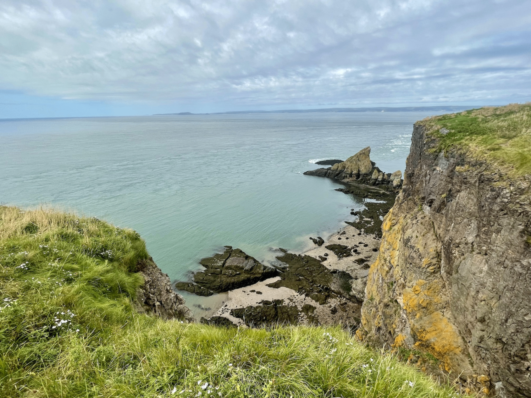
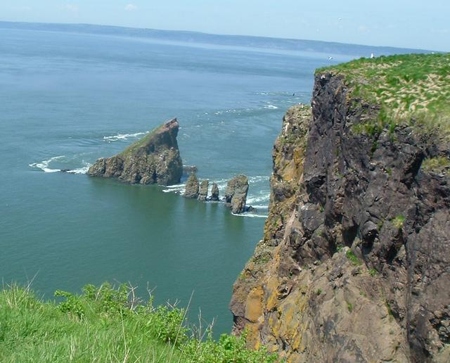
Sea stacks below the cliffs at Cape Split with turquoise water
The famous sea stacks visible from the cliff-top meadow.
Cliff-top view of the Minas Basin from Cape Split with rocky outcrops and green grass
The rim of the peninsula — note the sheer, unguarded drop.
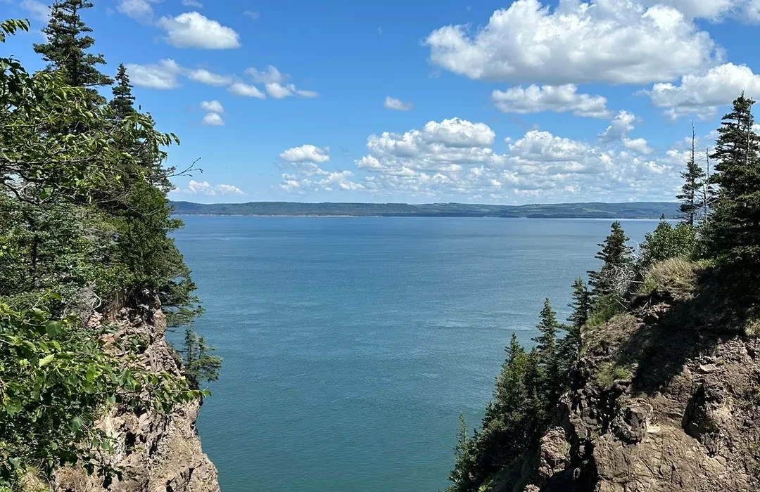
View of the Minas Basin framed by evergreens along the Cape Split trail
A framed view from the forested section of the trail.
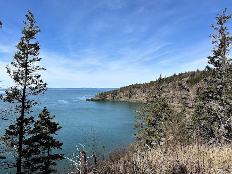
Cliffs and evergreens along the Cape Split shoreline in early season
The wooded shoreline earlier in the season, before full leaf-out.
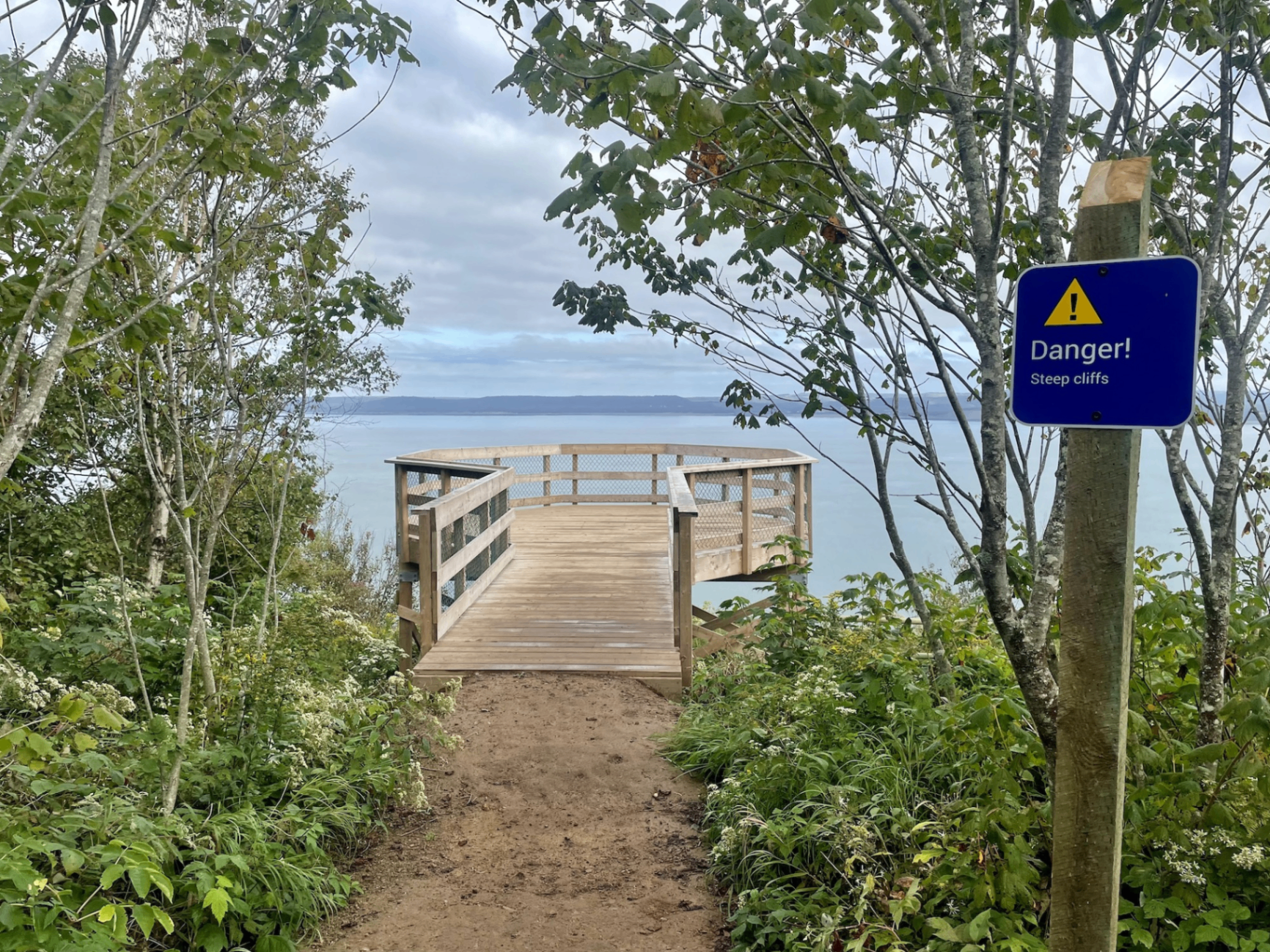
Wooden viewing platform at Cape Split with a blue Danger Steep Cliffs sign
The viewing platform — heed the Danger! Steep cliffs signs.