The Highest Tides on Earth
A landscape in constant motion.
Twice a day, 160 billion tonnes of seawater surge into the Bay of Fundy — reshaping the Canadian coastline by up to 16 vertical metres. This is a welcoming, plain-English field guide to one of Earth's most extraordinary natural wonders.
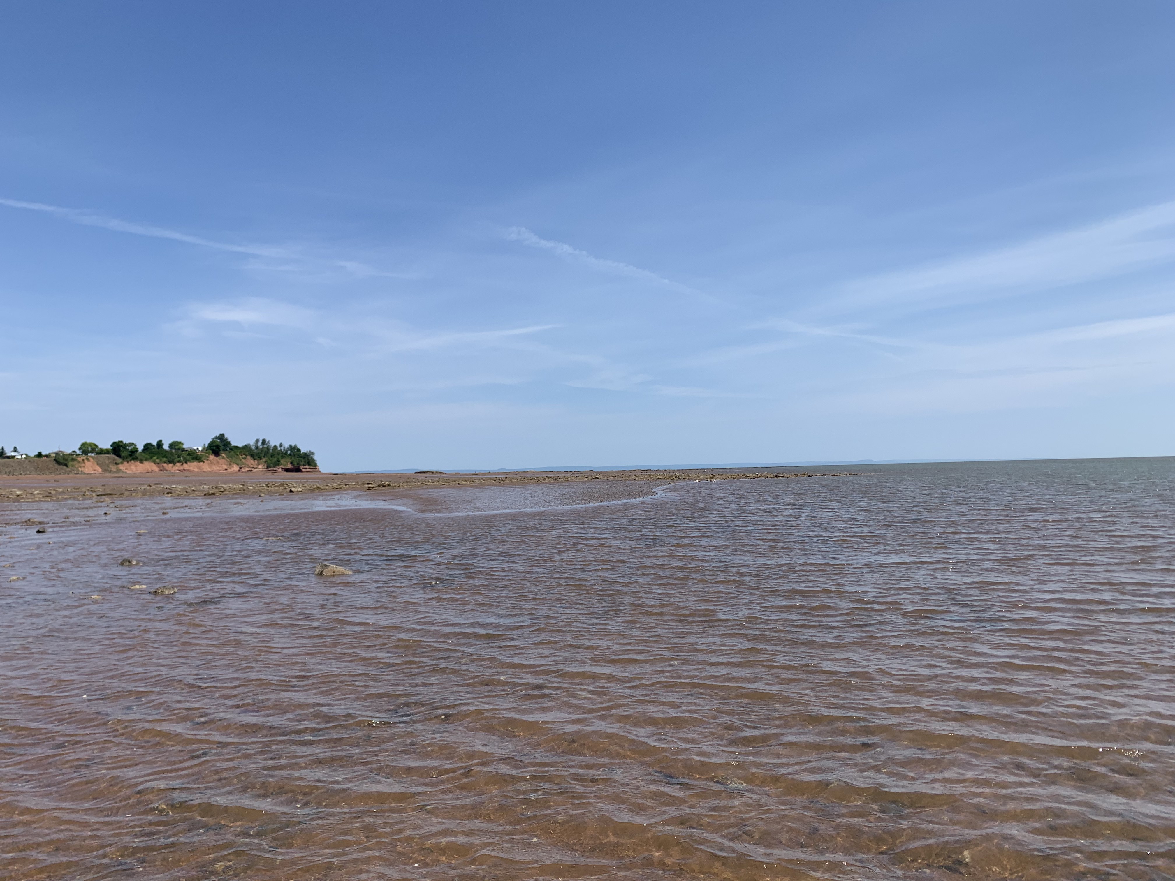
"Station 042 · Kingsport at low tide, Nova Scotia"
Current Tidal State
Sample readings from Partridge Island at the mouth of Saint John Harbour — where the Bay of Fundy meets the Saint John River. Live predictions from the Canadian Hydrographic Service (DFO).
Reference station
Partridge Island, New Brunswick
45.23° N, 66.05° W
Next High Tide
…
Loading live tide
Next Low Tide
…
Loading live tide
Water Temperature
9.1°C
Above seasonal average
Moon Phase
Waning Crescent
2% illuminated · source: MoonGiant
The Highlights
Essential Fundy landmarks.
Three places that capture the range of what makes this coast extraordinary — geology, wildlife, and paleontology all shaped by the same tide.
Landmark
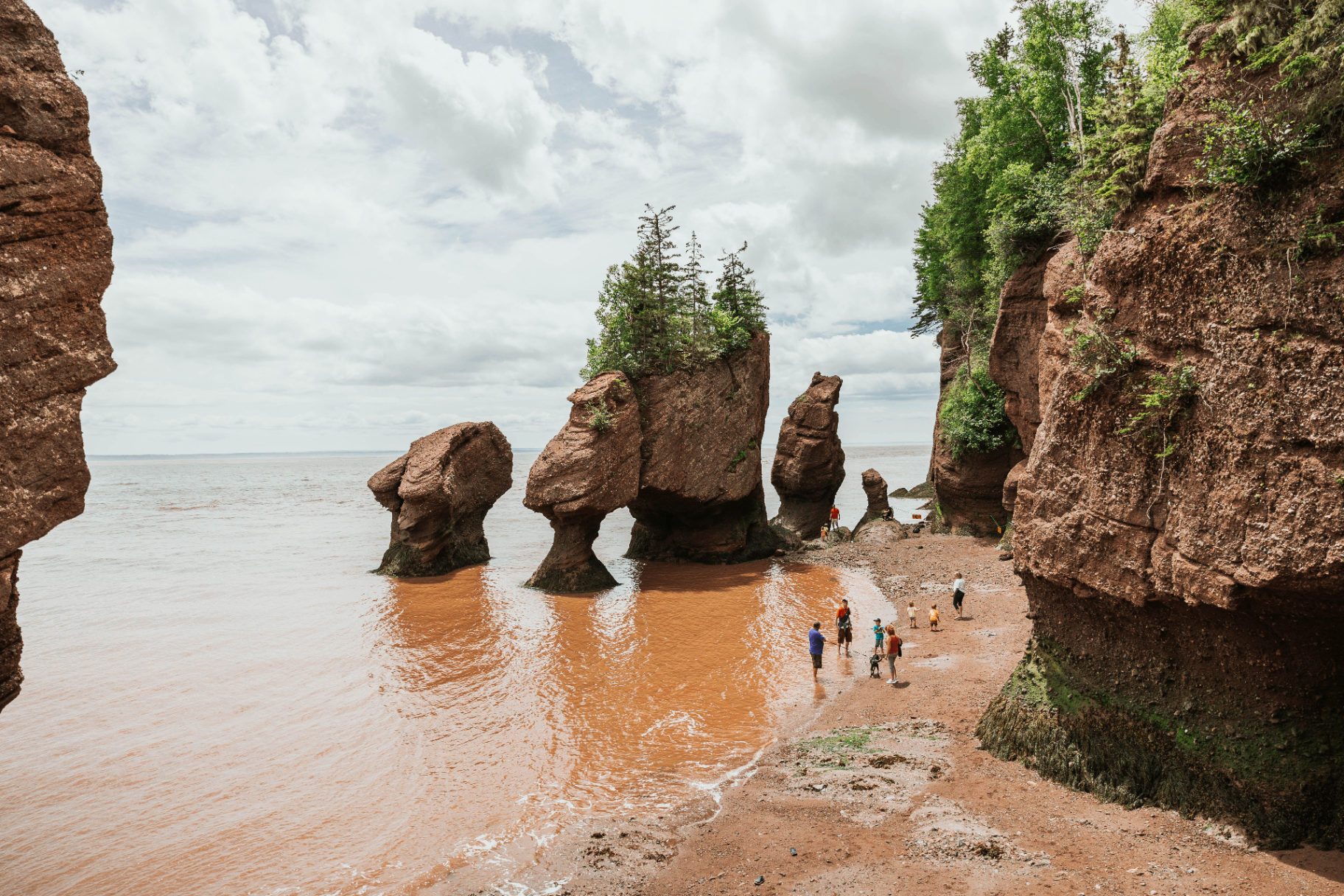
Hopewell Rocks
Walk on the ocean floor among the famous 'flowerpot' rock formations, sculpted by 21 tide cycles a week.
Best timeMay to October, three hours before or after low tide.
Learn more →
UNESCO Site
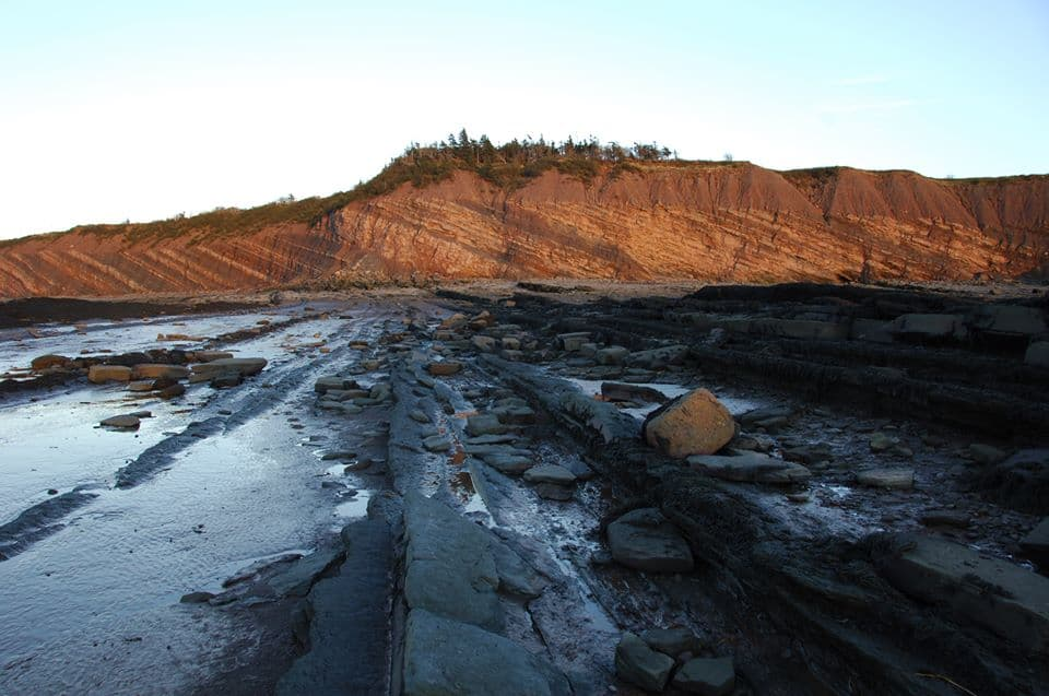
Joggins Fossil Cliffs
The world's most complete fossil record of the Coal Age, exposed daily by the retreating tide.
Best timeGuided tours run May through October.
Learn more →

Wildlife
Grand Manan & Digby Neck
Prime whale-watching waters where humpback, minke, finback, and the endangered North Atlantic right whale feed.
Best timeJuly through mid-September.
Learn more →
Did you know?
"The weight of water surging into the Bay of Fundy each tide cycle is so immense it measurably tilts the Nova Scotia peninsula and compresses the Earth's crust by several centimetres."
Adapted from Natural Resources Canada
The Bay of Fundy stretches roughly 270 kilometres between New Brunswick and Nova Scotia, funnelling the Atlantic into an ever-narrowing basin.
Twelve species of whales visit the bay each summer, drawn by nutrient-rich upwellings that follow every tide.
The cliffs at Joggins record 300 million years of Earth history — the finest window into the Coal Age on the planet.